 vesseltracker.com
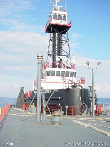
Vessel MARTIN EXPLORER IMO: 9160853, MMSI: 369818000 Pusher Tug
Live AIS position:
UTC. Near Maher Terminal),
updated 2024-01-03 12:58:08 UTC.
Find the position of the vessel MARTIN EXPLORER on the map. The latter are known coordinates and path.
marine traffic ship tracker show on live map
The current position of vessel MARTIN EXPLORER is 40.64186 lat / -74.11994 lng. Updated: 2024-01-03 12:58:08 UTCCurrently sailing under the flag of United States of America
MARTIN EXPLORER built in 1996 year
Deadweight:
0 tDetails:
Last coordinates of the vessel:
2024-01-03 12:58:08 UTC, 40.64186, -74.11994, course: 341, speed: 0