 vesseltracker.com
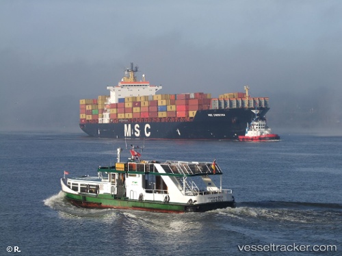
Vessel Msc Paola IMO: 9161297, MMSI: 636018318 Container Ship
UTC, 1.25408, 103.63180, course: 271, speed: 0
UTC, 1.25420, 103.63188, course: 271, speed: 0
2026-01-18 17:18:31 UTC, 1.25411, 103.63171, course: 271, speed: 0
Live AIS position:
UTC. Near JURONG ISLAND),
updated 2026-01-18 17:18:31 UTC.
Find the position of the vessel Msc Paola on the map. The latter are known coordinates and path.
marine traffic ship tracker show on live map
The current position of vessel Msc Paola is 1.25411 lat / 103.63171 lng. Updated: 2026-01-18 17:18:31 UTCDetails:
Last coordinates of the vessel:
UTC, 1.25408, 103.63180, course: 271, speed: 0UTC, 1.25408, 103.63180, course: 271, speed: 0
UTC, 1.25420, 103.63188, course: 271, speed: 0
2026-01-18 17:18:31 UTC, 1.25411, 103.63171, course: 271, speed: 0