 vesseltracker.com
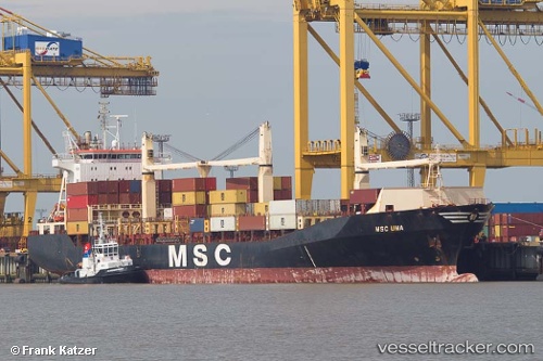
Find the position of the vessel Msc Uma on the map. The latter are known coordinates and path.
marine traffic ship tracker show on live map
The current position of vessel Msc Uma is 35.17312 lat / 50.68535 lng. Updated: 2025-06-01 21:03:44 UTCCurrently sailing under the flag of Portugal
Msc Uma built in 1998 year
Deadweight:
29233 tDetails:
Last coordinates of the vessel:
2025-06-01 21:03:44 UTC, 35.17312, 50.68535, course: 109, speed: 25.5