 vesseltracker.com
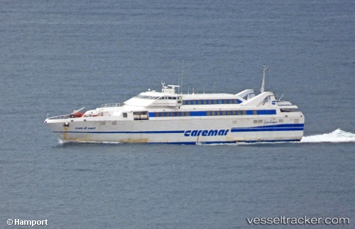
Find the position of the vessel Isola Di Capri on the map. The latter are known coordinates and path.
marine traffic ship tracker show on live map
The current position of vessel Isola Di Capri is 40.75097 lat / 13.90770 lng. Updated: 2025-10-01 10:51:01 UTCCurrently sailing under the flag of Italy
Isola Di Capri built in 1998 year
Deadweight:
400 tDetails:
Last coordinates of the vessel:
UTC, 40.82402, 14.11745, course: 234, speed: 0UTC, 40.76635, 14.02635, course: -1, speed: 0
UTC, 40.75084, 13.90792, course: 114, speed: 2.7
2025-10-01 10:51:01 UTC, 40.75097, 13.90770, course: 136, speed: 0