 vesseltracker.com
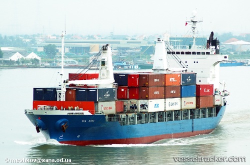
Find the position of the vessel Tanto Raya on the map. The latter are known coordinates and path.
marine traffic ship tracker show on live map
The current position of vessel Tanto Raya is -3.22767 lat / 135.56838666667 lng. Updated: 2025-11-06 20:01:59 UTCCurrently sailing under the flag of Indonesia
Tanto Raya built in 1998 year
Deadweight:
9114 tDetails:
Last coordinates of the vessel:
UTC, -3.22767, 135.56838666667, course: 205, speed: 0.1UTC, -3.22767, 135.56838666667, course: 205, speed: 0.1
UTC, -3.22767, 135.56838666667, course: 205, speed: 0.1
2025-11-06 20:01:59 UTC, -3.22767, 135.56838666667, course: 205, speed: 0.1