 vesseltracker.com
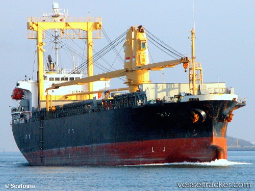
Find the position of the vessel Mv.sinar Kudus on the map. The latter are known coordinates and path.
marine traffic ship tracker show on live map
The current position of vessel Mv.sinar Kudus is 1.2632983922958374 lat / 101.44487762451172 lng. Updated: 2023-02-25 08:05:06 UTCCurrently sailing under the flag of Indonesia
Mv.sinar Kudus built in 1999 year
Deadweight:
8911 tDetails:
Last coordinates of the vessel:
2023-02-25 08:05:06 UTC, 1.2632983922958374, 101.44487762451172, course: 0, speed: 0.1