 vesseltracker.com
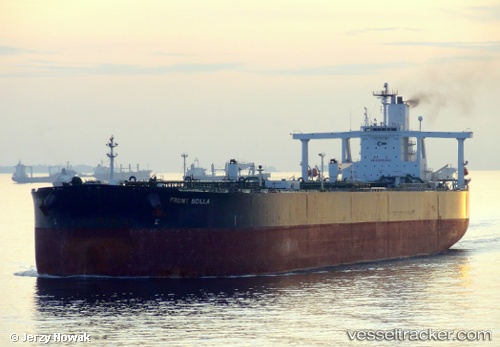
Live AIS position:
32.17041° S, 51.91632° W UTC. 11 nm SE of Rio Grande),
updated 2025-09-06 00:46:30 UTC.
Find the position of the vessel Ugo Ocha on the map. The latter are known coordinates and path.
marine traffic ship tracker show on live map
The current position of vessel Ugo Ocha is -32.17041 lat / -51.91632 lng. Updated: 2025-09-06 00:46:30 UTCDetails:
Last coordinates of the vessel:
2025-09-06 00:46:30 UTC, -32.17041, -51.91632, course: 190, speed: 0.1