 vesseltracker.com
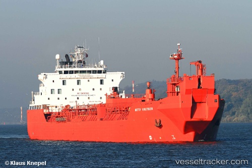
Find the position of the vessel Betty Knutsen on the map. The latter are known coordinates and path.
marine traffic ship tracker show on live map
The current position of vessel Betty Knutsen is 52.85667 lat / 3.35917 lng. Updated: 2025-05-14 07:02:23 UTCCurrently sailing under the flag of Norway
Betty Knutsen built in 1999 year
Deadweight:
35807 tDetails:
Last coordinates of the vessel:
2025-05-14 07:02:23 UTC, 52.85667, 3.35917, course: 346, speed: 13.2