 vesseltracker.com
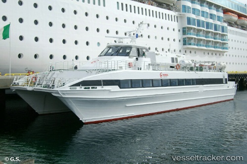
Find the position of the vessel Helgeland on the map. The latter are known coordinates and path.
marine traffic ship tracker show on live map
The current position of vessel Helgeland is 66.38987 lat / 12.76922 lng. Updated: 2025-05-14 07:02:15 UTCCurrently sailing under the flag of Norway
Helgeland built in 1997 year
Deadweight:
44 tDetails:
Last coordinates of the vessel:
2025-05-14 07:02:15 UTC, 66.38987, 12.76922, course: -1, speed: 30.3