 vesseltracker.com
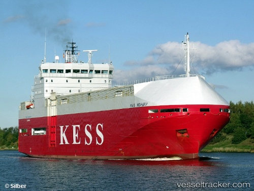
Find the position of the vessel Main Highway on the map. The latter are known coordinates and path.
marine traffic ship tracker show on live map
The current position of vessel Main Highway is 53.7799 lat / 7.01148 lng. Updated: 2024-11-17 05:25:31 UTCCurrently sailing under the flag of Cyprus
Main Highway built in 1998 year
Deadweight:
3347 tDetails:
Last coordinates of the vessel:
2024-11-17 05:25:31 UTC, 53.7799, 7.01148, course: 255, speed: 13.2