 vesseltracker.com
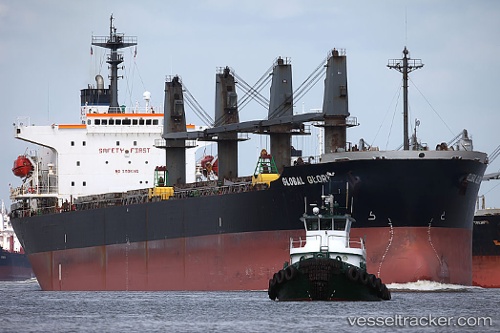
Vessel Michalakis IMO: 9182162, MMSI: 312088000 Bulk Carrier
UTC, 25.22015, 54.60423, course: 174, speed: 0
UTC, 25.22015, 54.60423, course: 174, speed: 0
2026-01-16 16:22:51 UTC, 25.22015, 54.60423, course: 182, speed: 0
Live AIS position:
UTC. 23 nm S of Fateh Terminal),
updated 2026-01-16 16:22:51 UTC.
Find the position of the vessel Michalakis on the map. The latter are known coordinates and path.
marine traffic ship tracker show on live map
The current position of vessel Michalakis is 25.22015 lat / 54.60423 lng. Updated: 2026-01-16 16:22:51 UTCCurrently sailing under the flag of Belize
Details:
Last coordinates of the vessel:
UTC, 25.22015, 54.60423, course: 199, speed: 0UTC, 25.22015, 54.60423, course: 174, speed: 0
UTC, 25.22015, 54.60423, course: 174, speed: 0
2026-01-16 16:22:51 UTC, 25.22015, 54.60423, course: 182, speed: 0