 vesseltracker.com
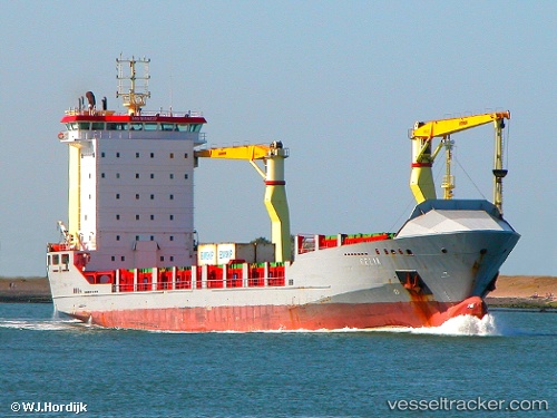
Find the position of the vessel Imua Ii on the map. The latter are known coordinates and path.
marine traffic ship tracker show on live map
The current position of vessel Imua Ii is -36.84345 lat / 174.77878 lng. Updated: 2025-10-01 11:07:40 UTCCurrently sailing under the flag of Antigua Barbuda
Details:
Last coordinates of the vessel:
UTC, -36.84347, 174.77869, course: 48, speed: 0UTC, -36.84333, 174.77834, course: -1, speed: 0
UTC, -36.84347, 174.77869, course: 48, speed: 0
2025-10-01 11:07:40 UTC, -36.84345, 174.77878, course: 48, speed: 0