 vesseltracker.com
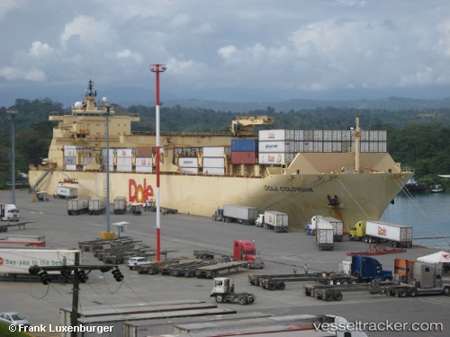
Vessel Dole Colombia IMO: 9185293, MMSI: 309403000 Container Ship
UTC, 14.50199, -78.84703, course: 218, speed: 17
UTC, 14.34051, -78.98311, course: 218, speed: 16.6
2026-01-17 23:42:37 UTC, 14.20568, -79.09730, course: 220, speed: 16.9
Live AIS position:
UTC. 156 nm SW of Raichur),
updated 2026-01-17 23:42:37 UTC.
Find the position of the vessel Dole Colombia on the map. The latter are known coordinates and path.
marine traffic ship tracker show on live map
The current position of vessel Dole Colombia is 14.20568 lat / -79.09730 lng. Updated: 2026-01-17 23:42:37 UTCCurrently sailing under the flag of Bahamas
Dole Colombia built in 1999 year
Deadweight:
30145 tDetails:
Last coordinates of the vessel:
UTC, 14.86701, -78.54961, course: 217, speed: 16.6UTC, 14.50199, -78.84703, course: 218, speed: 17
UTC, 14.34051, -78.98311, course: 218, speed: 16.6
2026-01-17 23:42:37 UTC, 14.20568, -79.09730, course: 220, speed: 16.9