 vesseltracker.com
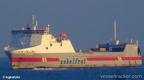
Find the position of the vessel Belgia Seaways on the map. The latter are known coordinates and path.
marine traffic ship tracker show on live map
The current position of vessel Belgia Seaways is 49.74817 lat / -3.03933 lng. Updated: 2025-10-16 21:52:05 UTCCurrently sailing under the flag of Lithuania
Belgia Seaways built in 2000 year
Deadweight:
12457 tDetails:
Last coordinates of the vessel:
UTC, 49.47750, -3.75833, course: 63, speed: 10.2UTC, 49.62433, -3.36466, course: 63, speed: 9.8
UTC, 49.63050, -3.34750, course: 63, speed: 9.8
2025-10-16 21:52:05 UTC, 49.74817, -3.03933, course: 64, speed: 9.4