 vesseltracker.com
Live AIS position:
48.17302° N, 122.74616° W UTC. Near Port Townsend),
updated 2025-11-20 21:44:59 UTC.
Find the position of the vessel Guide on the map. The latter are known coordinates and path.
marine traffic ship tracker show on live map
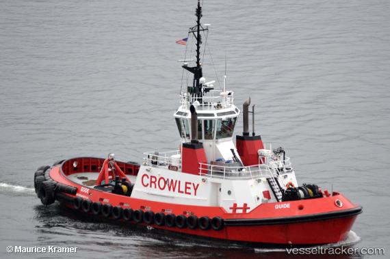
The current position of vessel Guide is 48.17302 lat / -122.74616 lng. Updated: 2025-11-20 21:44:59 UTCCurrently sailing under the flag of USA
Guide built in 1998 year
Details:
Last coordinates of the vessel:
UTC, 47.96674, -122.27732, course: 246, speed: 10.1UTC, 47.89806, -122.44958, course: 319, speed: 9.5
UTC, 48.09942, -122.64898, course: 344, speed: 10
2025-11-20 21:44:59 UTC, 48.17302, -122.74616, course: 309, speed: 9.2