 vesseltracker.com
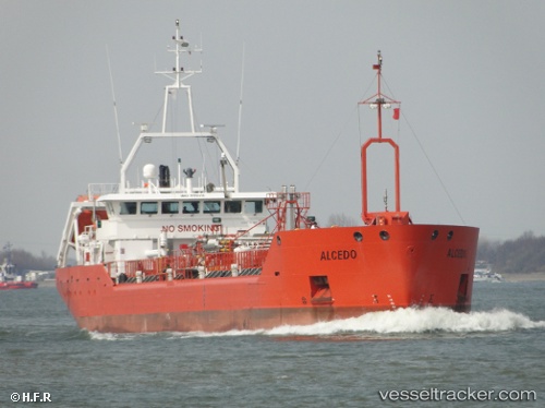
Vessel '352986144' IMO: 9190315, MMSI: 352986144
UTC, -16.89146, -2.76333, course: -1, speed: 10
UTC, -16.75167, -3.15333, course: -1, speed: 10
2026-01-17 09:21:40 UTC, -16.54167, -3.75500, course: -1, speed: 10
Live AIS position:
UTC. 118 nm E of Rupert's Bay),
updated 2026-01-17 09:21:40 UTC.
Find the position of the vessel '352986144' on the map. The latter are known coordinates and path.
marine traffic ship tracker show on live map
The current position of vessel '352986144' is -16.54167 lat / -3.75500 lng. Updated: 2026-01-17 09:21:40 UTCDetails:
Last coordinates of the vessel:
UTC, -16.96500, -2.54667, course: -1, speed: 10UTC, -16.89146, -2.76333, course: -1, speed: 10
UTC, -16.75167, -3.15333, course: -1, speed: 10
2026-01-17 09:21:40 UTC, -16.54167, -3.75500, course: -1, speed: 10