 vesseltracker.com
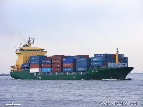
Find the position of the vessel Tanto Tenang on the map. The latter are known coordinates and path.
marine traffic ship tracker show on live map
The current position of vessel Tanto Tenang is -6.1041633333333 lat / 106.88382 lng. Updated: 2025-11-06 03:15:29 UTCDetails:
Last coordinates of the vessel:
UTC, -6.0258633333333, 106.89606, course: -1, speed: 0.2UTC, -6.0493133333333, 106.88588666667, course: -1, speed: 6.2
UTC, -6.1041316666667, 106.88380666667, course: -1, speed: 0.4
2025-11-06 03:15:29 UTC, -6.1041633333333, 106.88382, course: -1, speed: 0