 vesseltracker.com
Live AIS position:
54.94333° N, 17.67936° E UTC. 12 nm N of Leba),
updated 2025-11-20 10:18:45 UTC.
Find the position of the vessel Paula on the map. The latter are known coordinates and path.
marine traffic ship tracker show on live map
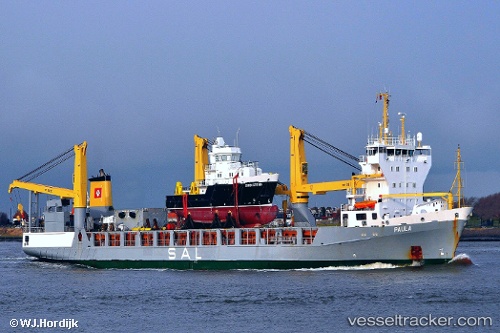
The current position of vessel Paula is 54.94333 lat / 17.67936 lng. Updated: 2025-11-20 10:18:45 UTCCurrently sailing under the flag of Antigua Barbuda
Paula built in 2000 year
Deadweight:
9361 tDetails:
Last coordinates of the vessel:
UTC, 54.76733, 19.01900, course: 301, speed: 16.2UTC, 54.95360, 18.36805, course: 268, speed: 17.2
UTC, 54.95133, 17.93715, course: 268, speed: 17.6
2025-11-20 10:18:45 UTC, 54.94333, 17.67936, course: 254, speed: 17.2