 vesseltracker.com
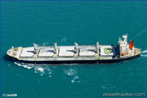
Live AIS position:
3.22525° S, 116.35488° E UTC. Near TANJUNG PEMANCINGAN),
updated 2025-11-19 23:17:57 UTC.
Find the position of the vessel Hi 02 on the map. The latter are known coordinates and path.
marine traffic ship tracker show on live map
The current position of vessel Hi 02 is -3.22525 lat / 116.35488 lng. Updated: 2025-11-19 23:17:57 UTCDetails:
Last coordinates of the vessel:
UTC, -3.22550, 116.35434, course: 340, speed: 0UTC, -3.22523, 116.35479, course: 321, speed: 0
UTC, -3.22533, 116.35481, course: 324, speed: 0.1
2025-11-19 23:17:57 UTC, -3.22525, 116.35488, course: 320, speed: 0