 vesseltracker.com
Live AIS position:
10.21430° N, 107.19900° E UTC. 11 nm SE of Cape St. Jacques),
updated 2025-10-14 07:36:46 UTC.
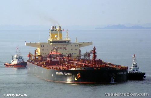
Find the position of the vessel Sonangol Luanda on the map. The latter are known coordinates and path.
marine traffic ship tracker show on live map
The current position of vessel Sonangol Luanda is 10.21430 lat / 107.19900 lng. Updated: 2025-10-14 07:36:46 UTCCurrently sailing under the flag of Bahamas
Sonangol Luanda built in 2000 year
Deadweight:
159178 tDetails:
Last coordinates of the vessel:
2025-10-14 07:36:46 UTC, 10.21430, 107.19900, course: 130, speed: 0