 vesseltracker.com
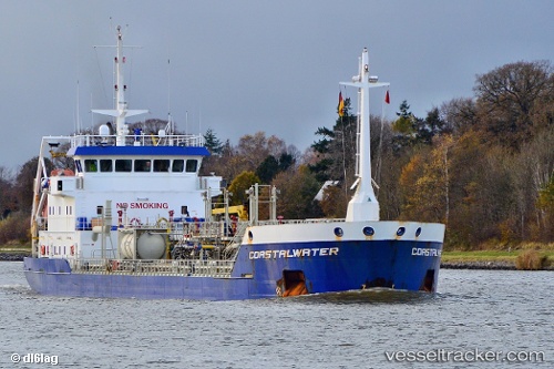
Find the position of the vessel Coastalwater on the map. The latter are known coordinates and path.
marine traffic ship tracker show on live map
The current position of vessel Coastalwater is 52.4569 lat / 5.82192 lng. Updated: 2025-07-14 12:16:39 UTCCurrently sailing under the flag of Netherlands
Coastalwater built in 2000 year
Deadweight:
3731 tDetails:
Last coordinates of the vessel:
UTC, 52.4569, 5.82192, course: -1, speed: 0UTC, 52.4569, 5.82192, course: -1, speed: 0
UTC, 52.4569, 5.82192, course: -1, speed: 0
2025-07-14 12:16:39 UTC, 52.4569, 5.82192, course: -1, speed: 0