 vesseltracker.com
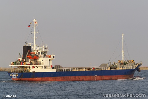
Vessel Sea Bridge IMO: 9207481, MMSI: 312834000 General Cargo Ship
UTC, 33.92626, 130.77234, course: 248, speed: 0.1
UTC, 33.92631, 130.77229, course: 247, speed: 0
2026-01-15 07:26:06 UTC, 33.95857, 131.03384, course: 143, speed: 11.8
Live AIS position:
UTC. Near Shimonoseki),
updated 2026-01-15 07:26:06 UTC.
Find the position of the vessel Sea Bridge on the map. The latter are known coordinates and path.
marine traffic ship tracker show on live map
The current position of vessel Sea Bridge is 33.95857 lat / 131.03384 lng. Updated: 2026-01-15 07:26:06 UTCCurrently sailing under the flag of Belize
Sea Bridge built in 1998 year
Deadweight:
1593 tDetails:
Last coordinates of the vessel:
UTC, 33.92629, 130.77234, course: 247, speed: 0UTC, 33.92626, 130.77234, course: 248, speed: 0.1
UTC, 33.92631, 130.77229, course: 247, speed: 0
2026-01-15 07:26:06 UTC, 33.95857, 131.03384, course: 143, speed: 11.8