 vesseltracker.com
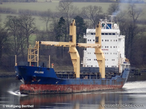
Vessel Adamastos IMO: 9210696, MMSI: 529896000 Multi Purpose Carrier
Live AIS position:
UTC. Near AJMAN),
updated 2023-10-10 12:57:22 UTC.
Find the position of the vessel Adamastos on the map. The latter are known coordinates and path.
marine traffic ship tracker show on live map
The current position of vessel Adamastos is 25.34151 lat / 55.48976 lng. Updated: 2023-10-10 12:57:22 UTCDetails:
Last coordinates of the vessel:
2023-10-10 12:57:22 UTC, 25.34151, 55.48976, course: -1, speed: 0