 vesseltracker.com
Live AIS position:
54.10973° N, 11.09679° E UTC. Near Kellenhusen),
updated 2025-11-22 06:16:52 UTC.
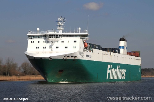
Find the position of the vessel FINNPULP on the map. The latter are known coordinates and path.
marine traffic ship tracker show on live map
The current position of vessel FINNPULP is 54.10973 lat / 11.09679 lng. Updated: 2025-11-22 06:16:52 UTCCurrently sailing under the flag of Finland
FINNPULP built in 2002 year
Deadweight:
11170 tDetails:
Last coordinates of the vessel:
UTC, 54.54950, 11.29208, course: 126, speed: 11.2UTC, 54.49161, 11.37567, course: 164, speed: 10.9
UTC, 54.26347, 11.27566, course: 212, speed: 10.7
2025-11-22 06:16:52 UTC, 54.10973, 11.09679, course: 217, speed: 11