 vesseltracker.com
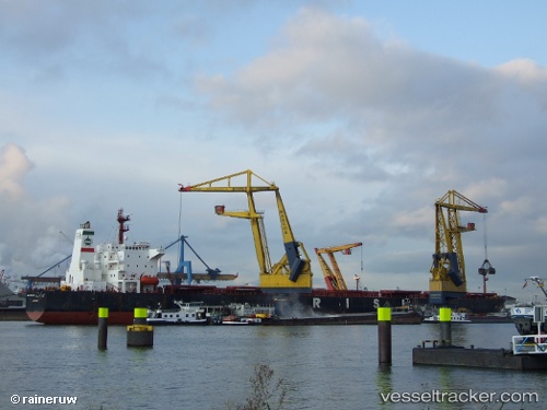
Vessel Termeh IMO: 9213399, MMSI: 422034700 Bulk Carrier
UTC, 19.99214, 118.74749, course: 221, speed: 12.3
UTC, 19.99214, 118.74749, course: 221, speed: 12.3
2026-01-16 16:43:08 UTC, 19.99214, 118.74749, course: 221, speed: 12.3
Live AIS position:
UTC. 143 nm NW of Bangui),
updated 2026-01-16 16:43:08 UTC.
Find the position of the vessel Termeh on the map. The latter are known coordinates and path.
marine traffic ship tracker show on live map
The current position of vessel Termeh is 19.99214 lat / 118.74749 lng. Updated: 2026-01-16 16:43:08 UTCDetails:
Last coordinates of the vessel:
UTC, 19.99214, 118.74749, course: 221, speed: 12.3UTC, 19.99214, 118.74749, course: 221, speed: 12.3
UTC, 19.99214, 118.74749, course: 221, speed: 12.3
2026-01-16 16:43:08 UTC, 19.99214, 118.74749, course: 221, speed: 12.3