 vesseltracker.com
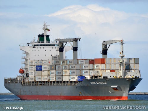
Find the position of the vessel Maersk Newcastle on the map. The latter are known coordinates and path.
marine traffic ship tracker show on live map
The current position of vessel Maersk Newcastle is 54.756651666667 lat / 13.46742 lng. Updated: 2025-10-14 19:37:29 UTCCurrently sailing under the flag of Singapore
Maersk Newcastle built in 2001 year
Deadweight:
34717 tDetails:
Last coordinates of the vessel:
UTC, 54.756613333333, 12.828523333333, course: 85, speed: 8.9UTC, 54.760983333333, 12.898158333333, course: 85, speed: 9.1
UTC, 54.756841666667, 13.21531, course: 86, speed: 10
2025-10-14 19:37:29 UTC, 54.756651666667, 13.46742, course: 101, speed: 9.2