 vesseltracker.com
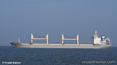
Vessel Cornelia IMO: 9216597, MMSI: 636019377 Bulk Carrier
UTC, 28.52439, 33.11028, course: 333, speed: 9.3
UTC, 28.79227, 32.97617, course: 333, speed: 8.6
2026-01-17 17:25:51 UTC, 28.80031, 32.97195, course: 333, speed: 8.6
Live AIS position:
UTC. 11 nm SW of Ras Budran),
updated 2026-01-17 17:25:51 UTC.
Find the position of the vessel Cornelia on the map. The latter are known coordinates and path.
marine traffic ship tracker show on live map
The current position of vessel Cornelia is 28.80031 lat / 32.97195 lng. Updated: 2026-01-17 17:25:51 UTCDetails:
Last coordinates of the vessel:
UTC, 28.44466, 33.16402, course: 328, speed: 8.8UTC, 28.52439, 33.11028, course: 333, speed: 9.3
UTC, 28.79227, 32.97617, course: 333, speed: 8.6
2026-01-17 17:25:51 UTC, 28.80031, 32.97195, course: 333, speed: 8.6