 vesseltracker.com
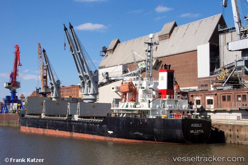
Vessel Leader M IMO: 9217797, MMSI: 314577000 General Cargo Ship
UTC, 40.85452, 29.16815, course: 334, speed: 1.1
UTC, 40.86382, 29.02723, course: 323, speed: 6.8
2026-01-17 19:22:15 UTC, 40.92855, 28.99668, course: 357, speed: 5.5
Live AIS position:
UTC. Near Kiziltoprak),
updated 2026-01-17 19:22:15 UTC.
Find the position of the vessel Leader M on the map. The latter are known coordinates and path.
marine traffic ship tracker show on live map
The current position of vessel Leader M is 40.92855 lat / 28.99668 lng. Updated: 2026-01-17 19:22:15 UTCCurrently sailing under the flag of Barbados
Details:
Last coordinates of the vessel:
UTC, 40.85336, 29.16675, course: 353, speed: 0.1UTC, 40.85452, 29.16815, course: 334, speed: 1.1
UTC, 40.86382, 29.02723, course: 323, speed: 6.8
2026-01-17 19:22:15 UTC, 40.92855, 28.99668, course: 357, speed: 5.5