 vesseltracker.com
Find the position of the vessel TOMIE on the map. The latter are known coordinates and path.
marine traffic ship tracker show on live map
The current position of vessel TOMIE is 29.831212997436523 lat / 32.5180549621582 lng. Updated: 2025-05-21 15:41:59 UTCCurrently sailing under the flag of Liberia
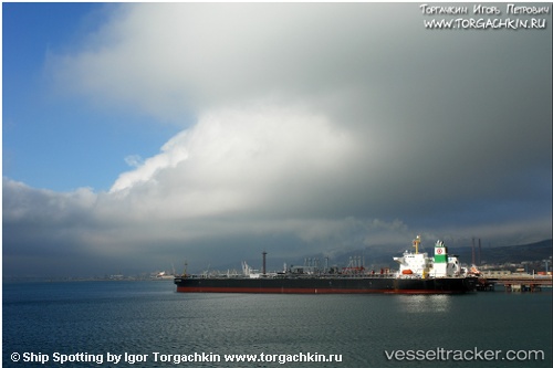
TOMIE built in 2000 year
Deadweight:
70514 tDetails:
Last coordinates of the vessel:
2025-05-21 15:41:59 UTC, 29.831212997436523, 32.5180549621582, course: 2, speed: 0The ship also appears on the maps: