 vesseltracker.com
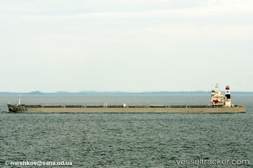
Vessel 636020321 IMO: 9220225, MMSI: 636020321
Live AIS position:
UTC. 10 nm SW of Ansongo),
updated 2025-01-25 04:04:57 UTC.
Find the position of the vessel 636020321 on the map. The latter are known coordinates and path.
marine traffic ship tracker show on live map
The current position of vessel 636020321 is 14.94711 lat / 0.00376 lng. Updated: 2025-01-25 04:04:57 UTCDetails:
Last coordinates of the vessel:
2025-01-25 04:04:57 UTC, 14.94711, 0.00376, course: -1, speed: 0