 vesseltracker.com
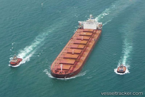
Vessel Innovation Way IMO: 9221205, MMSI: 356485000 Heavy Load Carrier
UTC, 11.67655, 110.95500, course: 208, speed: 12.9
UTC, 11.42138, 110.80677, course: 207, speed: 13.2
2026-01-17 14:53:33 UTC, 11.30143, 110.74537, course: 207, speed: 13.5
Live AIS position:
UTC. 100 nm E of Vinh Cam Ranh),
updated 2026-01-17 14:53:33 UTC.
Find the position of the vessel Innovation Way on the map. The latter are known coordinates and path.
marine traffic ship tracker show on live map
The current position of vessel Innovation Way is 11.30143 lat / 110.74537 lng. Updated: 2026-01-17 14:53:33 UTCDetails:
Last coordinates of the vessel:
UTC, 11.93673, 111.10550, course: 209, speed: 13.1UTC, 11.67655, 110.95500, course: 208, speed: 12.9
UTC, 11.42138, 110.80677, course: 207, speed: 13.2
2026-01-17 14:53:33 UTC, 11.30143, 110.74537, course: 207, speed: 13.5