 vesseltracker.com
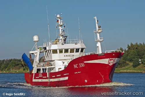
Find the position of the vessel Hellevig I on the map. The latter are known coordinates and path.
marine traffic ship tracker show on live map
The current position of vessel Hellevig I is 59.09864 lat / 3.55586 lng. Updated: 2025-11-10 00:47:51 UTCCurrently sailing under the flag of Norway
Hellevig I built in 2001 year
Details:
Last coordinates of the vessel:
UTC, 59.24876, 3.60757, course: 170, speed: 2.5UTC, 59.21193, 3.60207, course: 183, speed: 2.7
UTC, 59.13654, 3.58221, course: 183, speed: 2.9
2025-11-10 00:47:51 UTC, 59.09864, 3.55586, course: 204, speed: 3