 vesseltracker.com
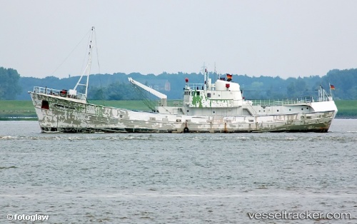
Find the position of the vessel Grampian Explorer on the map. The latter are known coordinates and path.
marine traffic ship tracker show on live map
The current position of vessel Grampian Explorer is 53.442 lat / 1.71987 lng. Updated: 2025-07-06 03:48:47 UTCCurrently sailing under the flag of United Kingdom
Grampian Explorer built in 2003 year
Deadweight:
3100 tDetails:
Last coordinates of the vessel:
UTC, 53.4657, 1.66209, course: 31, speed: 0.5UTC, 53.4645, 1.68442, course: 91, speed: 4.3
UTC, 53.4452, 1.71473, course: 53, speed: 1.1
2025-07-06 03:48:47 UTC, 53.442, 1.71987, course: 326, speed: 2