 vesseltracker.com
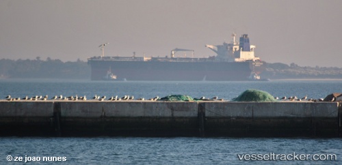
Vessel FIRN IMO: 9224441, MMSI: 352003221 Crude Oil Tanker
UTC, 40.57474, 27.20751, course: 64, speed: 11.8
UTC, 40.57474, 27.20751, course: 64, speed: 11.8
UTC, 40.57474, 27.20751, course: 64, speed: 11.8
UTC, 40.57474, 27.20751, course: 64, speed: 11.8
2026-01-07 15:40:56 UTC, 40.57474, 27.20751, course: 64, speed: 11.8
Live AIS position:
UTC. Near Sarköy),
updated 2026-01-07 15:40:56 UTC.
Find the position of the vessel FIRN on the map. The latter are known coordinates and path.
marine traffic ship tracker show on live map
The current position of vessel FIRN is 40.57474 lat / 27.20751 lng. Updated: 2026-01-07 15:40:56 UTCCurrently sailing under the flag of Panama
Details:
Last coordinates of the vessel:
UTC, 40.57474, 27.20751, course: 64, speed: 11.8UTC, 40.57474, 27.20751, course: 64, speed: 11.8
UTC, 40.57474, 27.20751, course: 64, speed: 11.8
UTC, 40.57474, 27.20751, course: 64, speed: 11.8
UTC, 40.57474, 27.20751, course: 64, speed: 11.8
2026-01-07 15:40:56 UTC, 40.57474, 27.20751, course: 64, speed: 11.8