 vesseltracker.com
Live AIS position:
41.28650° N, 28.95829° E UTC. Near RUMELI FENERI),
updated 2025-11-22 04:59:22 UTC.
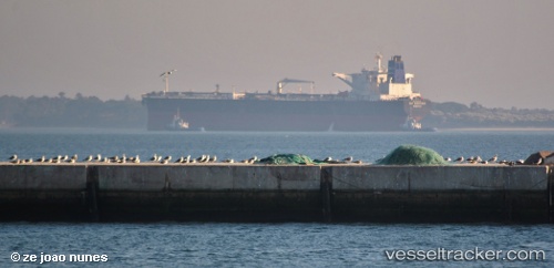
Find the position of the vessel FIRN on the map. The latter are known coordinates and path.
marine traffic ship tracker show on live map
The current position of vessel FIRN is 41.28650 lat / 28.95829 lng. Updated: 2025-11-22 04:59:22 UTCCurrently sailing under the flag of Panama
Details:
Last coordinates of the vessel:
UTC, 41.28649, 28.95834, course: 107, speed: 0UTC, 41.28641, 28.95829, course: 103, speed: 0
UTC, 41.28650, 28.95830, course: 106, speed: 0
2025-11-22 04:59:22 UTC, 41.28650, 28.95829, course: 105, speed: 0