 vesseltracker.com
Live AIS position:
8.46500° N, 104.78667° E UTC. 25 nm SW of Nam Can Port),
updated 2025-10-05 01:37:29 UTC.
Find the position of the vessel Al Forat on the map. The latter are known coordinates and path.
marine traffic ship tracker show on live map
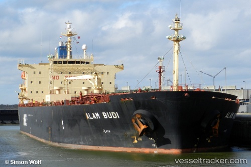
The current position of vessel Al Forat is 8.46500 lat / 104.78667 lng. Updated: 2025-10-05 01:37:29 UTCCurrently sailing under the flag of Comoros
Al Forat built in 2001 year
Deadweight:
47065 tDetails:
Last coordinates of the vessel:
2025-10-05 01:37:29 UTC, 8.46500, 104.78667, course: -1, speed: 0