 vesseltracker.com
Live AIS position:
59.45858° N, 24.66033° E UTC. Near Piirivalvesadam),
updated 2025-11-21 13:06:30 UTC.
Find the position of the vessel Missouriborg on the map. The latter are known coordinates and path.
marine traffic ship tracker show on live map
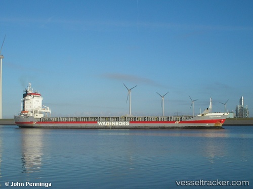
The current position of vessel Missouriborg is 59.45858 lat / 24.66033 lng. Updated: 2025-11-21 13:06:30 UTCCurrently sailing under the flag of Netherlands
Missouriborg built in 2000 year
Deadweight:
9150 tDetails:
Last coordinates of the vessel:
UTC, 59.45858, 24.66033, course: -1, speed: 0UTC, 59.45858, 24.66033, course: -1, speed: 0
UTC, 59.45858, 24.66033, course: -1, speed: 0
2025-11-21 13:06:30 UTC, 59.45858, 24.66033, course: -1, speed: 0