 vesseltracker.com
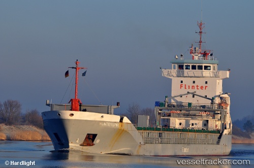
Vessel Kaileen IMO: 9229049, MMSI: 305922000 Deck Cargo Ship
UTC, 60.42670, 26.92067, course: 132, speed: 0
UTC, 60.42664, 26.92072, course: 132, speed: 0
2026-01-18 15:46:44 UTC, 60.42662, 26.92061, course: 132, speed: 0
Live AIS position:
UTC. Near Kotka),
updated 2026-01-18 15:46:44 UTC.
Find the position of the vessel Kaileen on the map. The latter are known coordinates and path.
marine traffic ship tracker show on live map
The current position of vessel Kaileen is 60.42662 lat / 26.92061 lng. Updated: 2026-01-18 15:46:44 UTCCurrently sailing under the flag of Antigua and Barbuda
Details:
Last coordinates of the vessel:
UTC, 60.42667, 26.92067, course: 132, speed: 0UTC, 60.42670, 26.92067, course: 132, speed: 0
UTC, 60.42664, 26.92072, course: 132, speed: 0
2026-01-18 15:46:44 UTC, 60.42662, 26.92061, course: 132, speed: 0