 vesseltracker.com
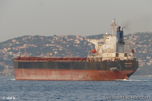
Vessel Rui Fu Tai IMO: 9230153, MMSI: 414412000 Bulk Carrier
UTC, 35.06022, 119.71580, course: 104, speed: 0.1
UTC, 35.06004, 119.71599, course: 100, speed: 0.1
2026-01-16 18:23:08 UTC, 35.05998, 119.71601, course: 103, speed: 0.2
Live AIS position:
UTC. 16 nm E of LANSHAN),
updated 2026-01-16 18:23:08 UTC.
Find the position of the vessel Rui Fu Tai on the map. The latter are known coordinates and path.
marine traffic ship tracker show on live map
The current position of vessel Rui Fu Tai is 35.05998 lat / 119.71601 lng. Updated: 2026-01-16 18:23:08 UTCCurrently sailing under the flag of China
Rui Fu Tai built in 2002 year
Deadweight:
73870 tDetails:
Last coordinates of the vessel:
UTC, 35.06016, 119.71593, course: 102, speed: 0.1UTC, 35.06022, 119.71580, course: 104, speed: 0.1
UTC, 35.06004, 119.71599, course: 100, speed: 0.1
2026-01-16 18:23:08 UTC, 35.05998, 119.71601, course: 103, speed: 0.2