 vesseltracker.com
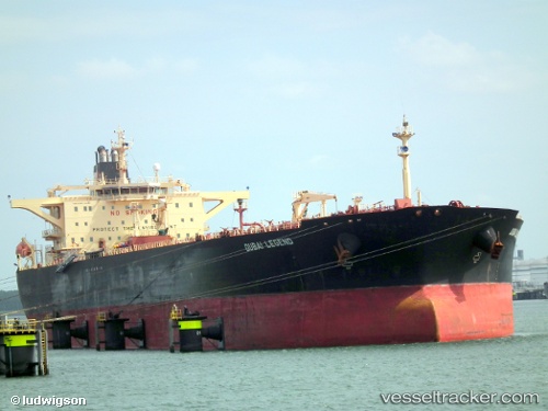
Vessel MERMAR IMO: 9231212, MMSI: 352978243 Crude Oil Tanker
Live AIS position:
UTC. 385 nm SW of Juan Fernández),
updated 2025-09-21 14:49:36 UTC.
Find the position of the vessel MERMAR on the map. The latter are known coordinates and path.
marine traffic ship tracker show on live map
The current position of vessel MERMAR is -38.20112 lat / -85.39272 lng. Updated: 2025-09-21 14:49:36 UTCCurrently sailing under the flag of Panama
MERMAR built in 2002 year
Deadweight:
112661 tDetails:
Last coordinates of the vessel:
2025-09-21 14:49:36 UTC, -38.20112, -85.39272, course: 177, speed: 22.2