 vesseltracker.com
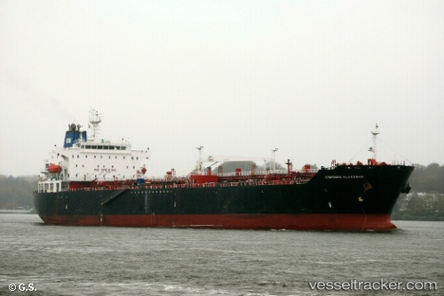
Vessel Ambermar IMO: 9231626, MMSI: 525119068 Multi Purpose Carrier
UTC, 1.70778, 101.49109, course: 103, speed: 0
UTC, 1.70764, 101.49099, course: 94, speed: 0
2026-01-17 18:07:58 UTC, 1.70705, 101.49093, course: 75, speed: 0
Live AIS position:
UTC. Near Dumai),
updated 2026-01-17 18:07:58 UTC.
Find the position of the vessel Ambermar on the map. The latter are known coordinates and path.
marine traffic ship tracker show on live map
The current position of vessel Ambermar is 1.70705 lat / 101.49093 lng. Updated: 2026-01-17 18:07:58 UTCCurrently sailing under the flag of Indonesia
Ambermar built in 2002 year
Deadweight:
35970 tDetails:
Last coordinates of the vessel:
UTC, 1.70710, 101.49095, course: 80, speed: 0UTC, 1.70778, 101.49109, course: 103, speed: 0
UTC, 1.70764, 101.49099, course: 94, speed: 0
2026-01-17 18:07:58 UTC, 1.70705, 101.49093, course: 75, speed: 0