 vesseltracker.com
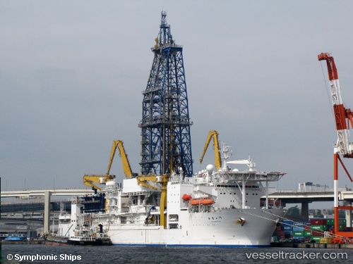
Vessel Chikyu IMO: 9234044, MMSI: 432522000 Drilling Ship
UTC, 28.29019, 147.66196, course: 127, speed: 10.9
UTC, 27.86613, 148.29578, course: 125, speed: 10.8
2026-01-15 04:03:25 UTC, 27.81565, 148.37022, course: 123, speed: 10.6
Live AIS position:
UTC. 333 nm E of Omura),
updated 2026-01-15 04:03:25 UTC.
Find the position of the vessel Chikyu on the map. The latter are known coordinates and path.
marine traffic ship tracker show on live map
The current position of vessel Chikyu is 27.81565 lat / 148.37022 lng. Updated: 2026-01-15 04:03:25 UTCDetails:
Last coordinates of the vessel:
UTC, 28.35732, 147.55882, course: 124, speed: 10.8UTC, 28.29019, 147.66196, course: 127, speed: 10.9
UTC, 27.86613, 148.29578, course: 125, speed: 10.8
2026-01-15 04:03:25 UTC, 27.81565, 148.37022, course: 123, speed: 10.6