 vesseltracker.com
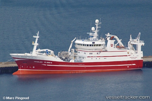
Find the position of the vessel BIRITA on the map. The latter are known coordinates and path.
marine traffic ship tracker show on live map
The current position of vessel BIRITA is 64.57373 lat / -11.59776 lng. Updated: 2025-10-30 19:27:13 UTCCurrently sailing under the flag of Faroe Islands
BIRITA built in 2000 year
Deadweight:
0 tDetails:
Last coordinates of the vessel:
UTC, 64.54283, -11.58776, course: 280, speed: 3.3UTC, 64.54283, -11.58776, course: 280, speed: 3.3
UTC, 64.58732, -11.56676, course: 234, speed: 3.9
2025-10-30 19:27:13 UTC, 64.57373, -11.59776, course: 217, speed: 4
The ship also appears on the maps: