 vesseltracker.com
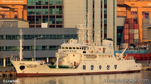
Live AIS position:
20.60317° N, 106.92639° E UTC. 14 nm S of Nam Hai Dinh Vu Port),
updated 2025-11-19 19:06:11 UTC.
Find the position of the vessel Hanvit on the map. The latter are known coordinates and path.
marine traffic ship tracker show on live map
The current position of vessel Hanvit is 20.60317 lat / 106.92639 lng. Updated: 2025-11-19 19:06:11 UTCCurrently sailing under the flag of Korea
Details:
Last coordinates of the vessel:
UTC, 20.86480, 106.72335, course: 312, speed: 0UTC, 20.81517, 106.85475, course: 82, speed: 10
UTC, 20.71648, 106.97409, course: 144, speed: 12.7
2025-11-19 19:06:11 UTC, 20.60317, 106.92639, course: 124, speed: 15.2