 vesseltracker.com
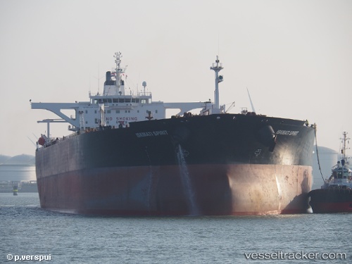
Find the position of the vessel JULIA A on the map. The latter are known coordinates and path.
marine traffic ship tracker show on live map
The current position of vessel JULIA A is 39.92420 lat / 25.94533 lng. Updated: 2025-11-02 09:13:47 UTCCurrently sailing under the flag of Liberia
JULIA A built in 2003 year
Deadweight:
165293 tDetails:
Last coordinates of the vessel:
UTC, 39.92420, 25.94533, course: 44, speed: 12UTC, 39.92420, 25.94533, course: 44, speed: 12
UTC, 39.92420, 25.94533, course: 44, speed: 12
2025-11-02 09:13:47 UTC, 39.92420, 25.94533, course: 44, speed: 12