 vesseltracker.com
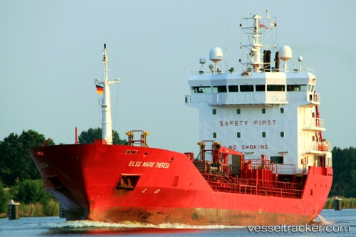
Find the position of the vessel ENKI on the map. The latter are known coordinates and path.
marine traffic ship tracker show on live map
The current position of vessel ENKI is 25.53917 lat / 55.08010 lng. Updated: 2025-11-03 02:56:40 UTCCurrently sailing under the flag of St.Kitts and Nevis
ENKI built in 2001 year
Deadweight:
4307 tDetails:
Last coordinates of the vessel:
UTC, 25.54029, 55.08055, course: 255, speed: 0.1UTC, 25.53997, 55.08065, course: 276, speed: 0
UTC, 25.53973, 55.08068, course: 286, speed: 0
2025-11-03 02:56:40 UTC, 25.53917, 55.08010, course: 328, speed: 0.1