 vesseltracker.com
Find the position of the vessel SIBERIA on the map. The latter are known coordinates and path.
marine traffic ship tracker show on live map
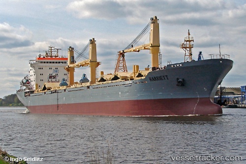
The current position of vessel SIBERIA is 35.87051 lat / 34.85449 lng. Updated: 2025-11-12 14:51:46 UTCCurrently sailing under the flag of Russia
SIBERIA built in 2002 year
Deadweight:
25565 tDetails:
Last coordinates of the vessel:
UTC, 35.87051, 34.85449, course: 121, speed: 2.3UTC, 35.87051, 34.85449, course: 121, speed: 2.3
UTC, 35.87051, 34.85449, course: 121, speed: 2.3
2025-11-12 14:51:46 UTC, 35.87051, 34.85449, course: 121, speed: 2.3
The ship also appears on the maps:
- Карта границ России и Мирового океана
- NSR 2021.12.01
- NSR 2021.12.01
- NSR 2021.12.01
- NSR 2021.12.01
- NSR 2021.12.01
- NSR 07.12.2021
- Northern Sea Route. General Cargo Ships & Russian icebreakers
- Северная звезда
- NSR
- ASCO2024
- УМРЛ, карта судов 28.12.24
- КАРТА СМП-БС 1 (12.02.25г.)
- КАРТА СМП-БС -2 (13.02.2025)
- Карта СМП-БС-3 (17.02.2025)
- СМП-БС (04.03.2025)
- СМП-Бухта Север
- Бухта Север - СМП(апрель2025)
- Бухта Север - СМП(апрель2025)
- asas02025
- СМП