 vesseltracker.com
Find the position of the vessel Miro D on the map. The latter are known coordinates and path.
marine traffic ship tracker show on live map
The current position of vessel Miro D is 36.12909 lat / -6.30412 lng. Updated: 2025-11-03 14:57:16 UTCCurrently sailing under the flag of Malta
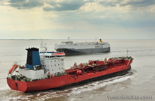
Miro D built in 2002 year
Deadweight:
16882 tDetails:
Last coordinates of the vessel:
UTC, 36.12932, -6.30408, course: 325, speed: 0.1UTC, 36.12929, -6.30397, course: 290, speed: 0
UTC, 36.12930, -6.30401, course: 293, speed: 0
2025-11-03 14:57:16 UTC, 36.12909, -6.30412, course: 313, speed: 0.1