 vesseltracker.com
Live AIS position:
55.00615° N, 5.21201° W UTC. Near Loch Ryan Pt),
updated 2025-11-20 04:18:12 UTC.
Find the position of the vessel European Highlander on the map. The latter are known coordinates and path.
marine traffic ship tracker show on live map
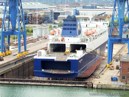
The current position of vessel European Highlander is 55.00615 lat / -5.21201 lng. Updated: 2025-11-20 04:18:12 UTCCurrently sailing under the flag of Bahamas
Details:
Last coordinates of the vessel:
UTC, 54.90471, -5.63875, course: 240, speed: 18.9UTC, 54.84662, -5.79721, course: 211, speed: 0
UTC, 54.84663, -5.79720, course: 211, speed: 0.1
2025-11-20 04:18:12 UTC, 55.00615, -5.21201, course: 54, speed: 16.3