 vesseltracker.com
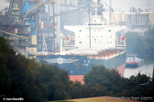
Vessel Levantes IMO: 9244829, MMSI: 538006969 Bulk Carrier
UTC, 13.55542, 50.15593, course: 249, speed: 12.3
UTC, 13.44333, 49.77167, course: -1, speed: 12
2026-01-17 03:01:38 UTC, 13.37833, 49.55333, course: -1, speed: 11
Live AIS position:
UTC. 73 nm S of AL MUKALLA),
updated 2026-01-17 03:01:38 UTC.
Find the position of the vessel Levantes on the map. The latter are known coordinates and path.
marine traffic ship tracker show on live map
The current position of vessel Levantes is 13.37833 lat / 49.55333 lng. Updated: 2026-01-17 03:01:38 UTCCurrently sailing under the flag of Marshall Is
Levantes built in 2001 year
Deadweight:
75900 tDetails:
Last coordinates of the vessel:
UTC, 13.62000, 50.34167, course: -1, speed: 12UTC, 13.55542, 50.15593, course: 249, speed: 12.3
UTC, 13.44333, 49.77167, course: -1, speed: 12
2026-01-17 03:01:38 UTC, 13.37833, 49.55333, course: -1, speed: 11